As Hurricane Michael blasted into the Florida Panhandle at 12:30 p.m. Wednesday, packing 153 mile-an-hour winds, airmen with the 53rd Weather Reconnaissance Squadron, were inside the belly of the beast.
In fact, WC-130Js from the 53rd, based at Keesler Air Force Base, Mississippi, began flying missions into the eye of what would become a Category 4 hurricane on Sunday to gather valuable, time-sensitive information, , according to an Air Force press release.
Over the past week, the C-130 crews, known as “Hurricane Hunters,” observed the storm intensify from a tropical depression to a major hurricane, with winds just 2 mph shy of a Category 5 storm, as it made landfall near Mexico Beach, Florida.
RELATED

The Hurricane Hunters are charged with gathering data from inside storms in order to help the National Hurricane Center improve the accuracy of its forecasts of “the cone of uncertainty,” the probable track of the center of a tropical cyclone.
“This storm started out as a low level investigation, with the possibility of it reaching tropical storm status by the end of the first flight,” said Col. Robert J. Stanton, 403rd Wing vice commander and a navigator who was on the mission. “We had a challenge on the first entry into the storm trying to find the center because the eye of this storm was oval shaped and roughly 30 to 40 miles long.”
The storm’s track was originally expected to hit the Florida Panhandle. It was named Michael over the weekend and was upgraded to a Category 1 hurricane by Monday.
“Michael was different than others, because the track pretty much stayed the same from day one,” said Capt. Kelsie Carpenter, 53rd WRS aerial reconnaissance weather officer, who flew into the storm on Tuesday morning. “We sent the data to the National Hurricane Center and watched it go from a Category 1 to a Category 2 storm while we were fixing the center, and it appeared to be intensifying.”
The Hurricane Hunters are the only U.S. Defense Department unit that flies reconnaissance missions into severe tropical weather during the hurricane season, which officially starts June 1, and runs through Nov. 30. The data the airmen gather helps the National Hurricane Center to improve its storm warnings.
The squadron flew a total of nine missions into Hurricane Michael to gather this information.
While the model forecasts have improved for tracking storms, predicting their intensity is tricky.
“This was such a powerful storm for building up in the Gulf of Mexico. It doesn’t happen often that you see a storm increasing intensity while making landfall,” said Lt. Col. Sean Cross, 53rd WRS pilot.
While inside the eye, the crew could see the storm surge hitting the coastline of Florida, according to Cross.
“The eyewall also looked different than others I have flown because it was like we were inside an 18-mile-wide barrel or drum, with the eyewall going straight up and down,” he said.
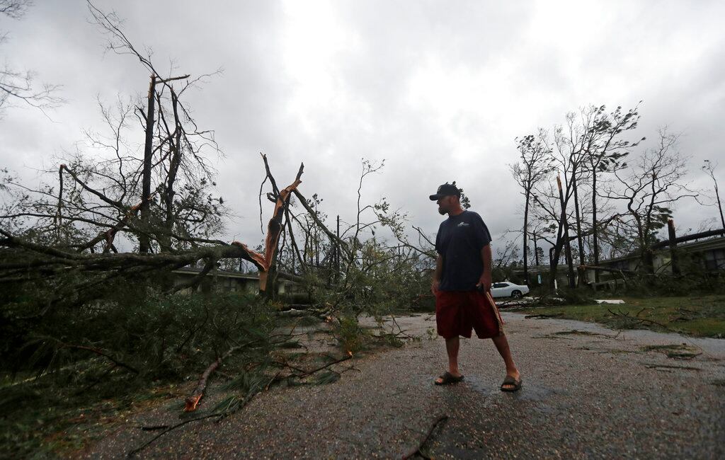
Hurricane Michael wound up causing massive damage, and it may not be done yet.
Kyle Rempfer was an editor and reporter who has covered combat operations, criminal cases, foreign military assistance and training accidents. Before entering journalism, Kyle served in U.S. Air Force Special Tactics and deployed in 2014 to Paktika Province, Afghanistan, and Baghdad, Iraq.


